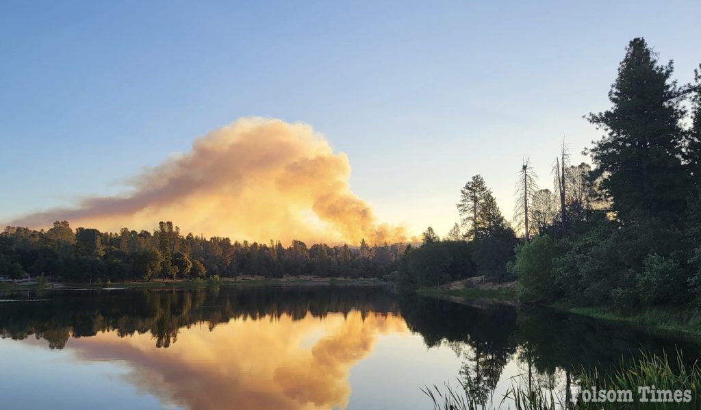
Evacuation orders and expanded warnings remained in place for residents in El Dorado County Wednesday afternoon as a fire that started early this morning northeast of Placerville has grown in size, with little progress on containment so far by the multiple agencies fighting the blaze both on the ground and from the air.
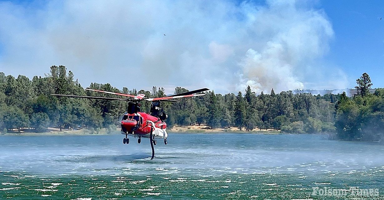
Bannered as the Crozier Fire, the blaze broke out at approximately 1:20 a.m. and quickly grew to over 60 acres in size in the rural wooded area that contains a good amount of dry fuels to feed the flames. By 10 a.m. on Wednesday, the fire was mapped at 182 acres in size, and firefighters have only managed to gain 5% containment.
The fire is burning northeast of Slate Mountain on the northern side of El Dorado County. As of Wednesday afternoon, evacuation orders now include areas of Swansboro, including neighborhoods to the north and northwest of the Mosquito community airport.
For those displaced by the Evacuation Order, there is a temporary evacuation point at the Placerville Library at 345 Fairlane in Placerville. The El Dorado County Animal Services Shelter at 6435 Capitol Ave. in Diamond Springs is open to house animals displaced by the Evacuation Order. If no one answers the door, please call 530-621-5795.
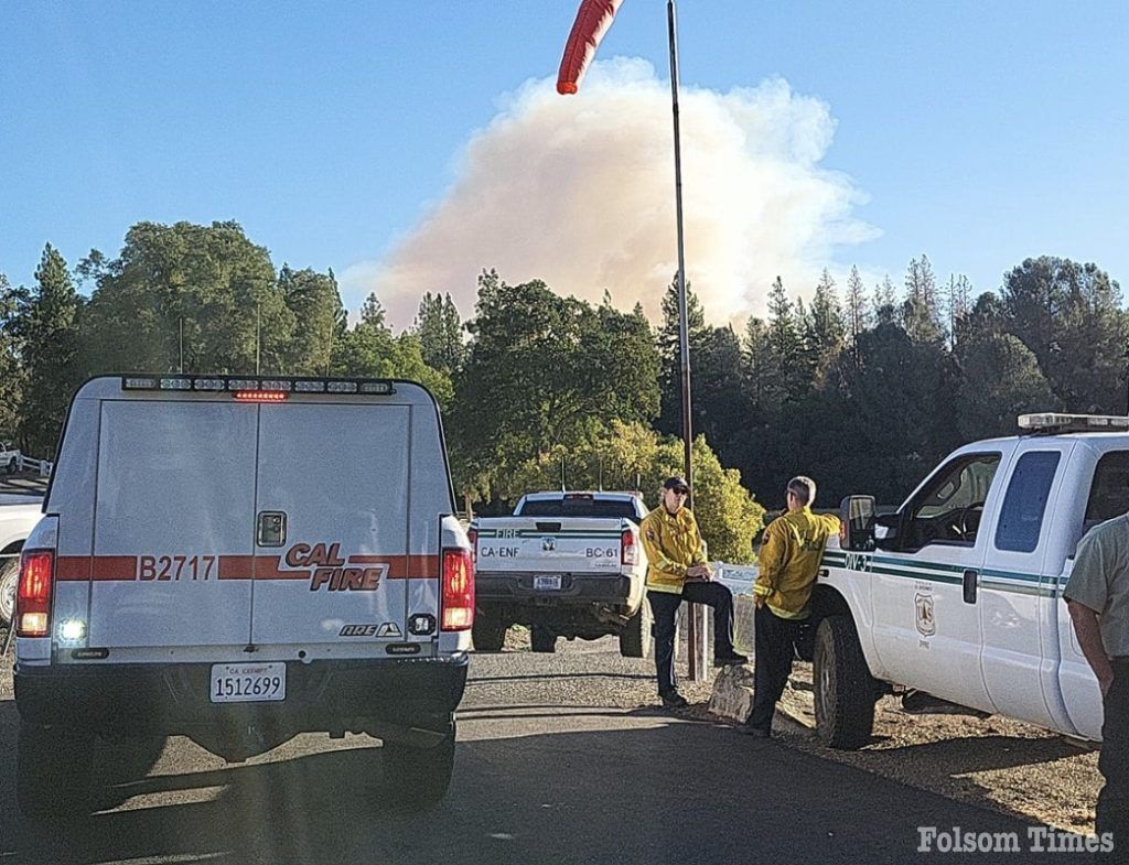
Cal Fire is leading the firefighting operation in collaboration with the United States Forest Service. Multiple units from other agencies are providing additional support. The fire is burning in steep terrain heavily populated with dry, flashy fuels and timber, which is fueling it to a moderate rate of spread, according to Cal Fire officials.
“It’s burning in a drainage, so it is pretty steep in there. We are seeing some short-range spotting in brush and timber,” explained Cal Fire’s Marjorie Minor as she updated media on the fire’s progress Wednesday. At this time, fire officials are not releasing any further information on the cause of the fire.
As of 3:00 p.m. Wednesday, fire officials reported that the fire had been mapped at 244 acres in size and was standing at 5% containment.
Photos: El Dorado County Sheriff’s Office and Cal Fire Amador-El Dorado Unit
Last update: 3:05 p.m. Aug. 7/


