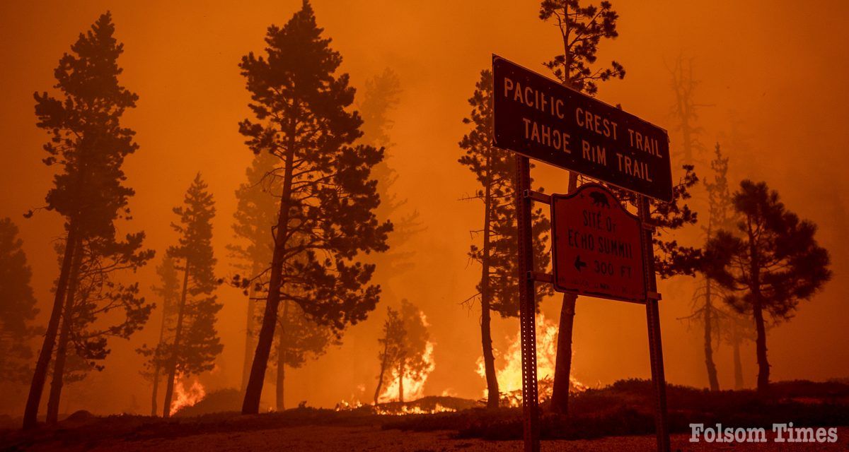
A powerful new digital resource from CAL FIRE is now available to help landowners, planners, scientists, and communities better understand the effects of wildfires and strengthen California’s long-term resilience efforts. The California Vegetation Burn Severity Online Viewer, developed by CAL FIRE’s Fire and Resource Assessment Program (FRAP), offers interactive statewide maps that show how vegetation has been impacted by wildfires over the past decade.
The Burn Severity Viewer includes data for all wildfires over 1,000 acres that occurred in California between 2015 and 2023, a period marked by some of the largest and most destructive fires in state history. The tool is part of California’s ongoing wildfire resilience and transparency efforts under Senate Bill 1101.
“This tool helps Californians see and understand how fire affects our landscapes,” said Chris Keithley, Assistant Deputy Director for FRAP. “It gives communities data to support efforts to plan prescribed burns, guide restoration work, and reduce future wildfire risk.”
The viewer provides several key benefits for post-fire recovery planning. It helps identify areas in need of reforestation or active restoration; improves fire preparedness by supporting prescribed fire planning based on past severity and fuel changes; enhances safety through better suppression planning; and informs habitat management by detecting changes to wildlife ecosystems.
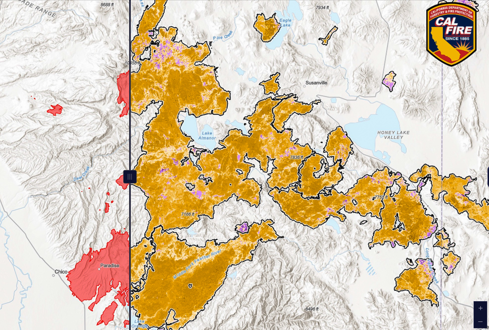
Users can search fires by name, year, cause, or size and explore multiple data layers including fire perimeters and severity classifications. The viewer supports the addition of custom data layers and generates downloadable, georeferenced maps suitable for field use. All maps cover land across various ownership types and are updated annually to include new qualifying fires.
Burn severity is calculated using advanced remote sensing technology and represented through the Composite Burn Index (CBI) for forested lands, as well as a continuous severity scale for all vegetation types. Satellite imagery is processed one year after a fire to account for delayed vegetation recovery and tree mortality.
The project is guided by a Technical Advisory Committee that includes experts from the California Wildfire & Forest Resilience Task Force – Science Advisory Panel, California Air Resources Board, NASA, U.S. Geological Survey, and the U.S. Department of Agriculture Forest Service.
The launch marks Phase 1 of the project, with the focus on the online viewer. Phase 2 will provide downloadable datasets as CAL FIRE continues to improve its burn severity mapping for non-forested landscapes.
The California Vegetation Burn Severity Online Viewer is now live and accessible to the public atfire.ca.gov.
For more information about CAL FIRE’s Fire and Resource Assessment Program, visit theFRAP webpage.
Copyright © 2025, Folsom Times, a digital product of All Town Media LLC. All rights reserved. No portion of this publication may be reproduced, distributed, or transmitted in any form or by any means, without the prior written permission of the publisher.

