Firefighters from El Dorado Hills were able to quickly contain a vegetation fire in a somewhat rural area Tuesday afternoon, thanks to the use of satellite technology.
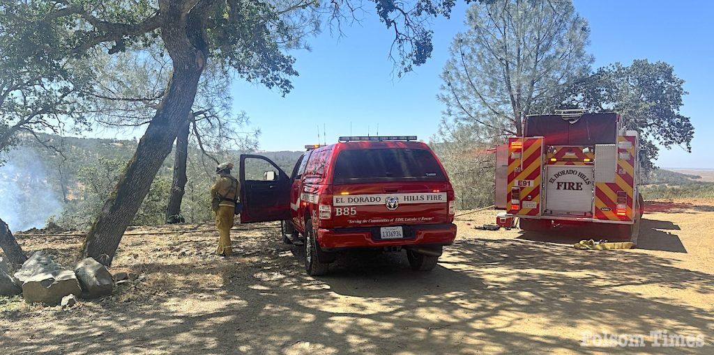
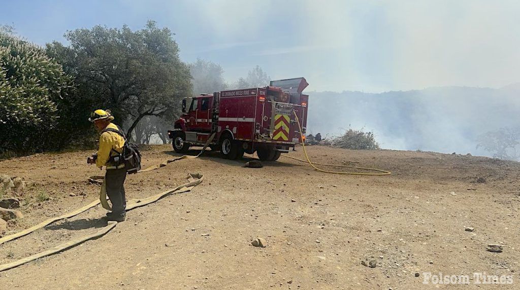
Shortly after 11:00 am Tuesday, multiple units from the El Dorado Hills Fire Department and the Amador-El Dorado unit of Cal Fire responded to a reported vegetation fire near Ryan Ranch Road in the community of Latrobe. Upon arrival to the area, firefighters observed the fire in a wooded canyon of the area, burning upslope in dry vegeation. Fortunately, no homes were immediately threatened by the forward progress of the fire.
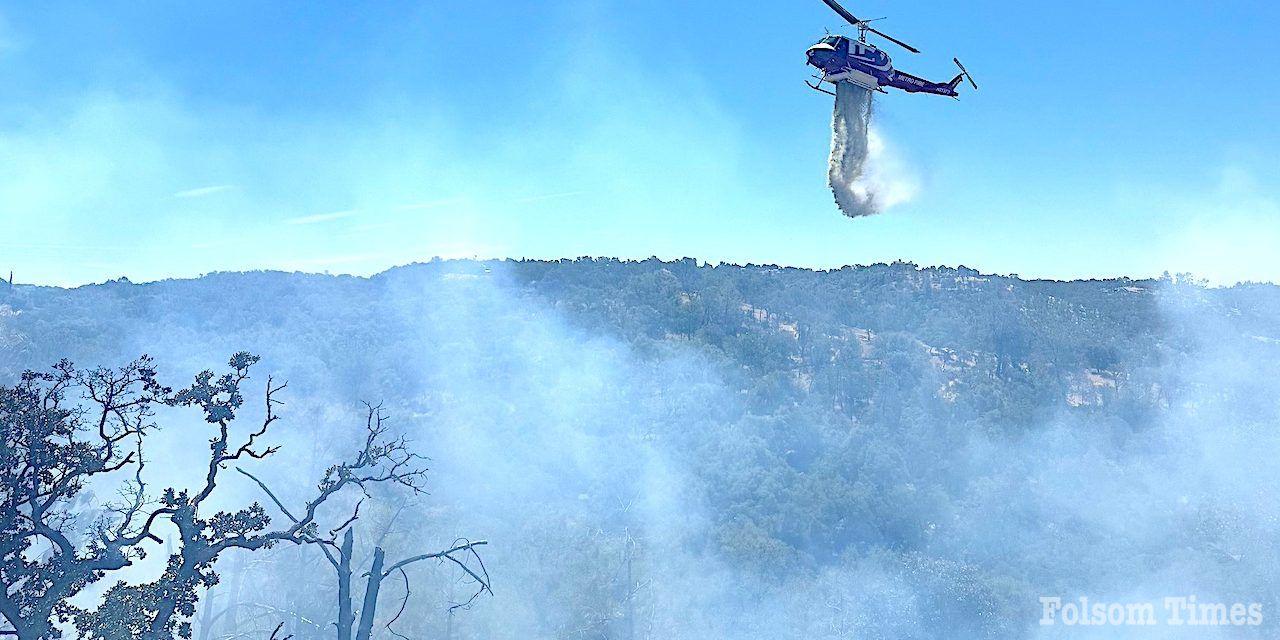
After dispatching air support in the form of a helicopter from the Sacramento Metropolitan Fire District, fire crews were able to contain the blaze to an estimated .25 of an acre. He source of ignition of the fire remains under investigation Tuesday afternoon and firefighters were expected to remain in the rural area well into the afternoon houts to insure all hot sports or any embers were fully extinguished to prevent any possible flare up.
According to the El Dorado Hills Fire Department, Tuesday’s fire was initially detected by the use of satellite technology. The technology has detected several fires in the state already, allowing for the creation of a fire spread model and the identification of the nearest @alertcalifornia camera. The technology provided provided responding units with valuable pre-arrival data regarding the fire’s rural locaton, progress and its potential threat.
“Fire Integrated Real-Time Intelligence System (FIRIS) aircraft was on alert and prepared to provide live aerial observation to assist responders,” explained El Dorado Hills Fire officials in their report of the incident. “These technologies represent a significant advancement in protecting Californians from wildfires.”


Photos; El Dorado Hills Fire


